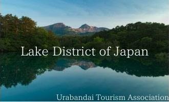
National Michinoku Park where you can experience the nature and culture of Tohoku. A scenic panoramic sightseeing road that has been selected as one of Japan's Top 100 Roads. Bandai Azuma Skyline. Nakatsugawa Valley, a famous spot for autumn leaves. Bandai Azuma Lake Line where you can see the Ura Bandai lakes and marshes.
You can enjoy the view of nature.


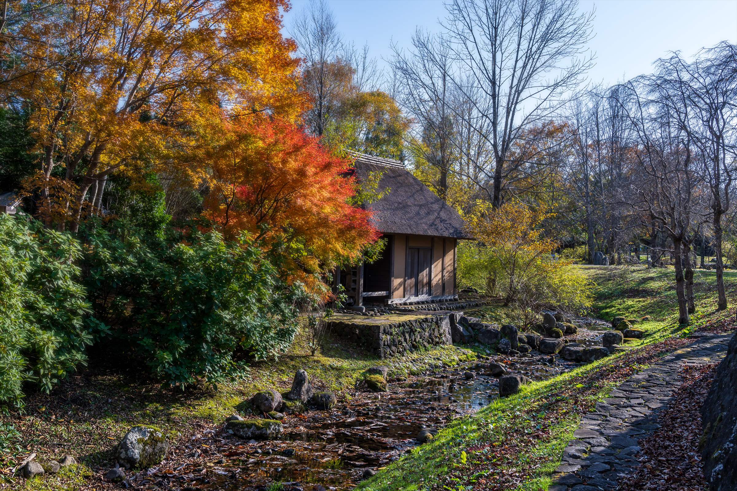
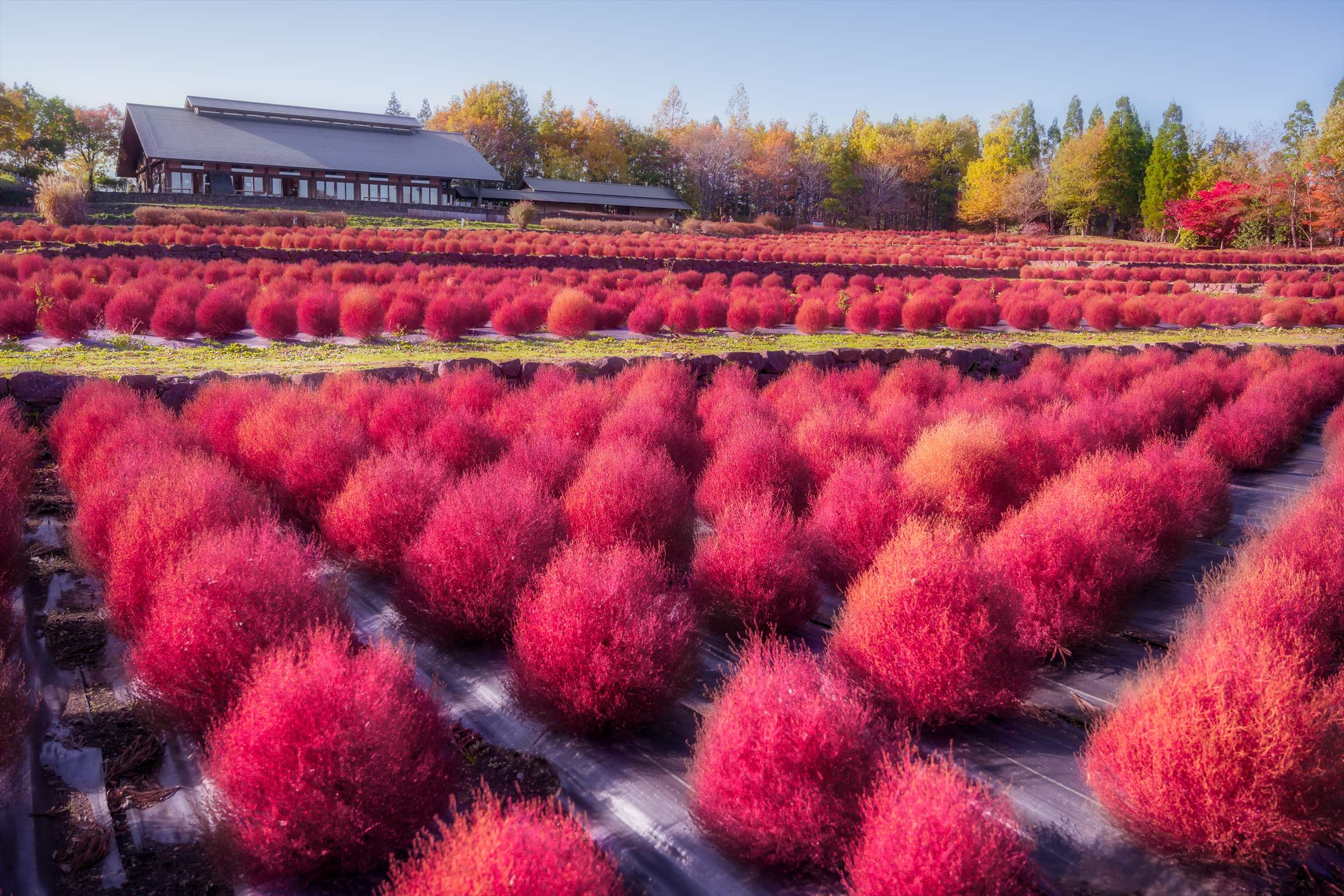
国営みちのく公園
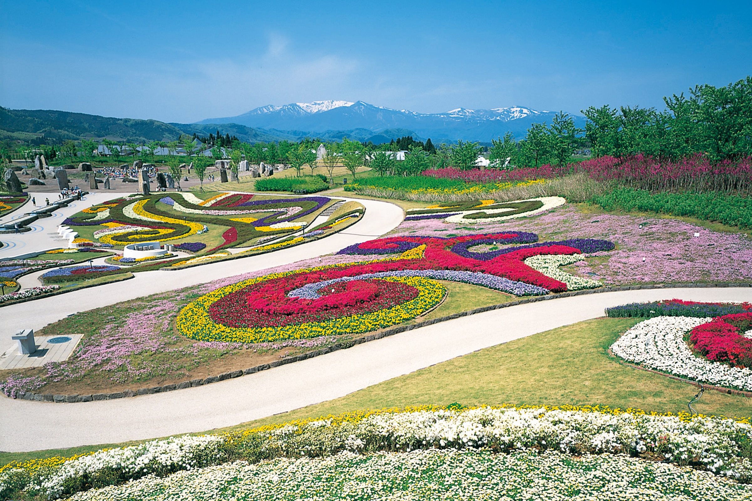
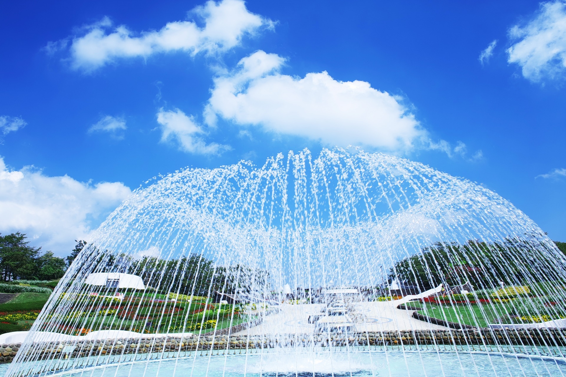
みちのく公園は、豊かな自然を生かし、レクリエーションの基本に立った豊かなストーリー性とテーマ性のある4つのゾーンから成り立つ東北地方唯一の国営公園です。
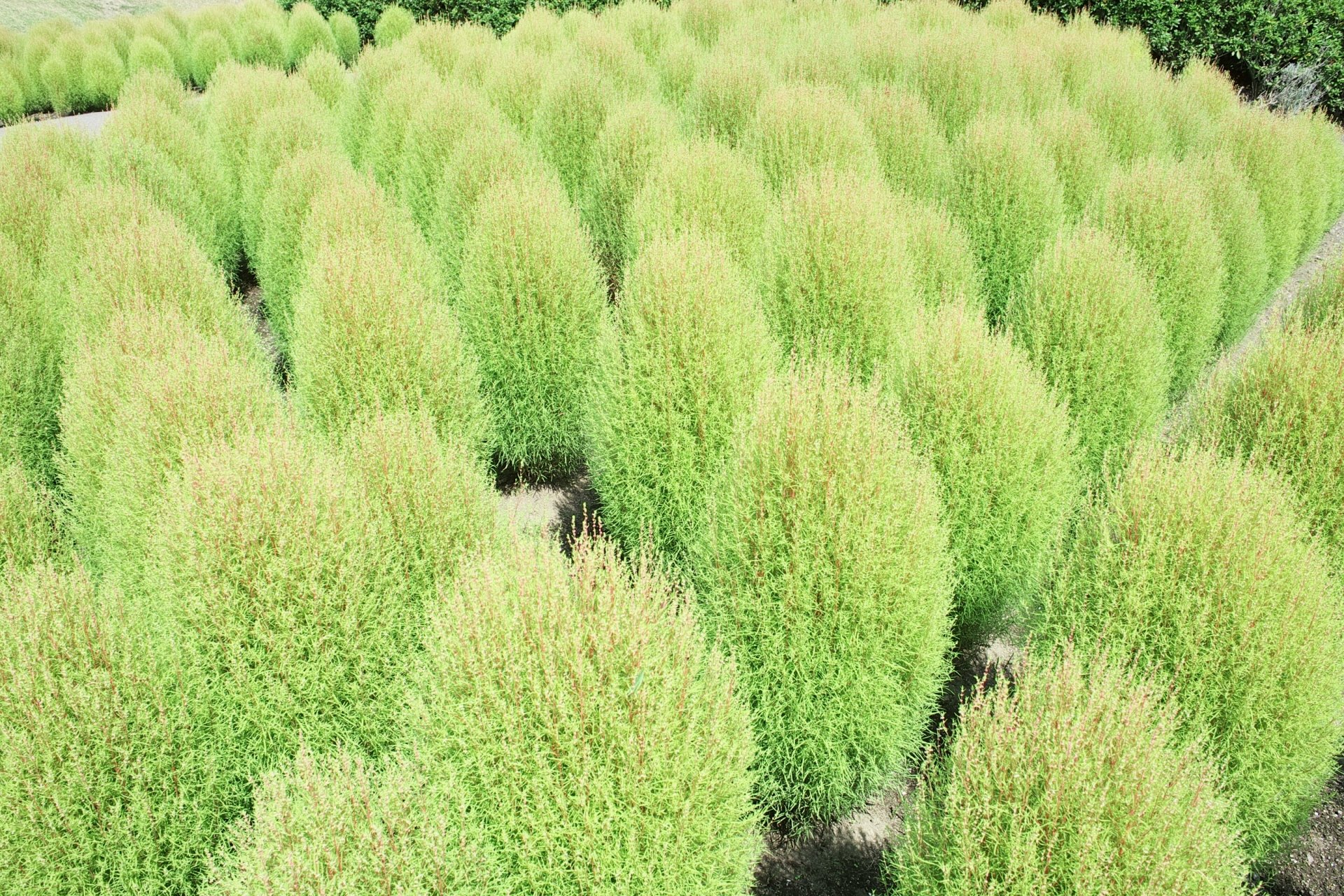
中心となる文化と水のゾーン(南地区)の彩のひろばでは10万株の花々が咲き誇り、お花畑では蔵王連峰を背景にポピーやコスモスが一面を彩ります。また、秋にはふるさと村の木々やコキアが見事に色づきます...
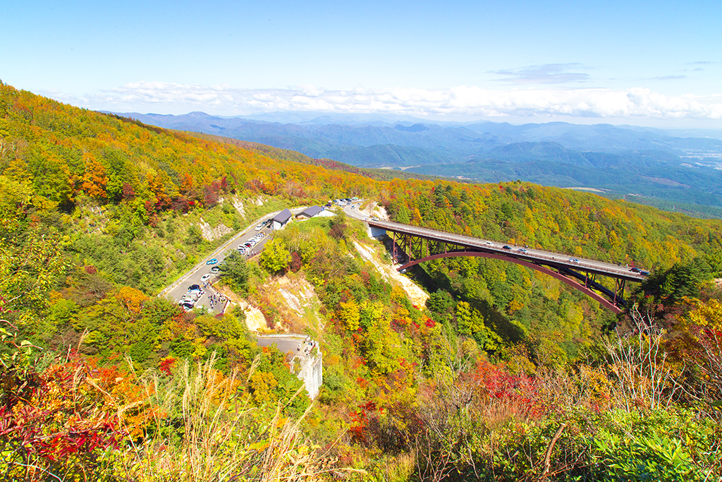

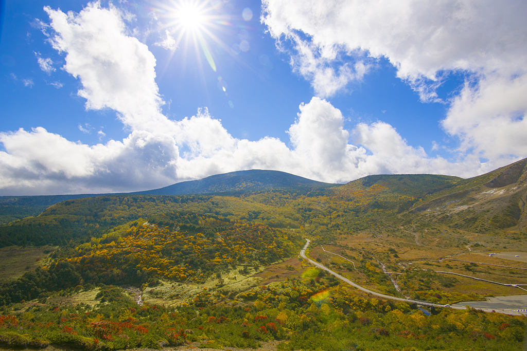
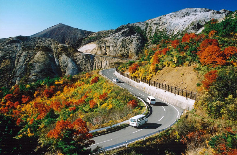
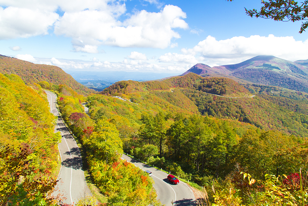
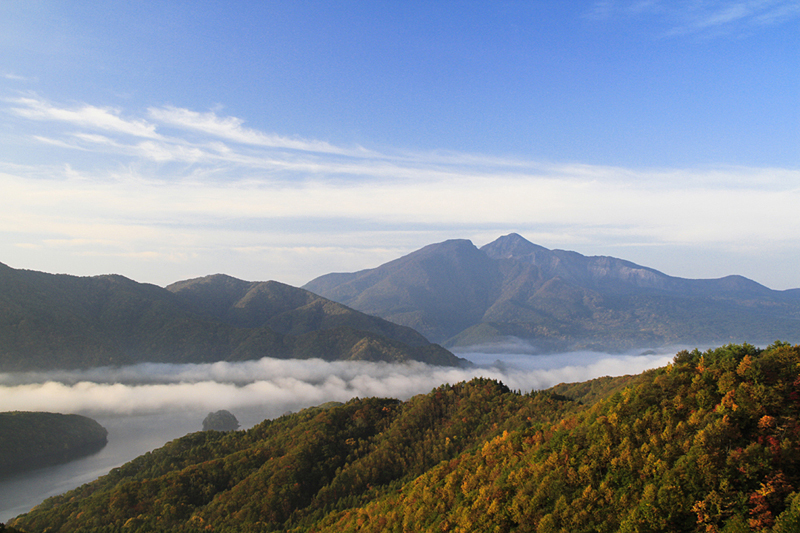
磐梯吾妻スカイライン・浄土平
高湯温泉と土湯峠を結ぶ、全長約29km、最高標高1,622mの山岳観光道路。吾妻連峰を縫うように走り眼下に広がる福島の街並みの大パノラマが楽しめます。日本の道100選にも選ばれ、春の“雪の回廊”から秋の紅葉まで、季節毎に雄大で変化に富んだ様々な景色をくれます。
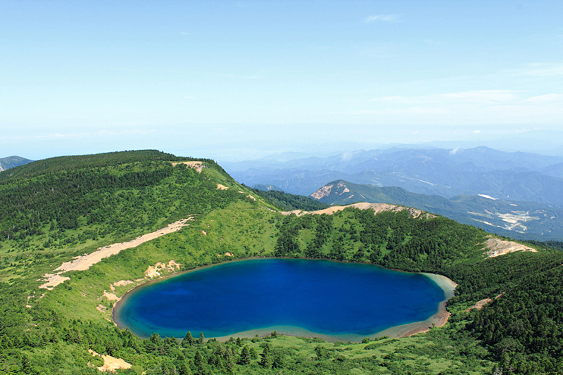
中間地点に当たる標高1,600メートル浄土平は磐梯朝日国立公園のビジターセンターがあり、周辺の荒々し...
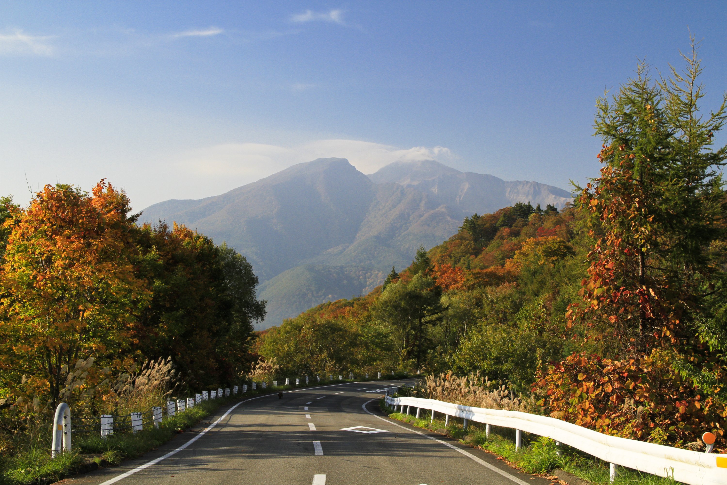
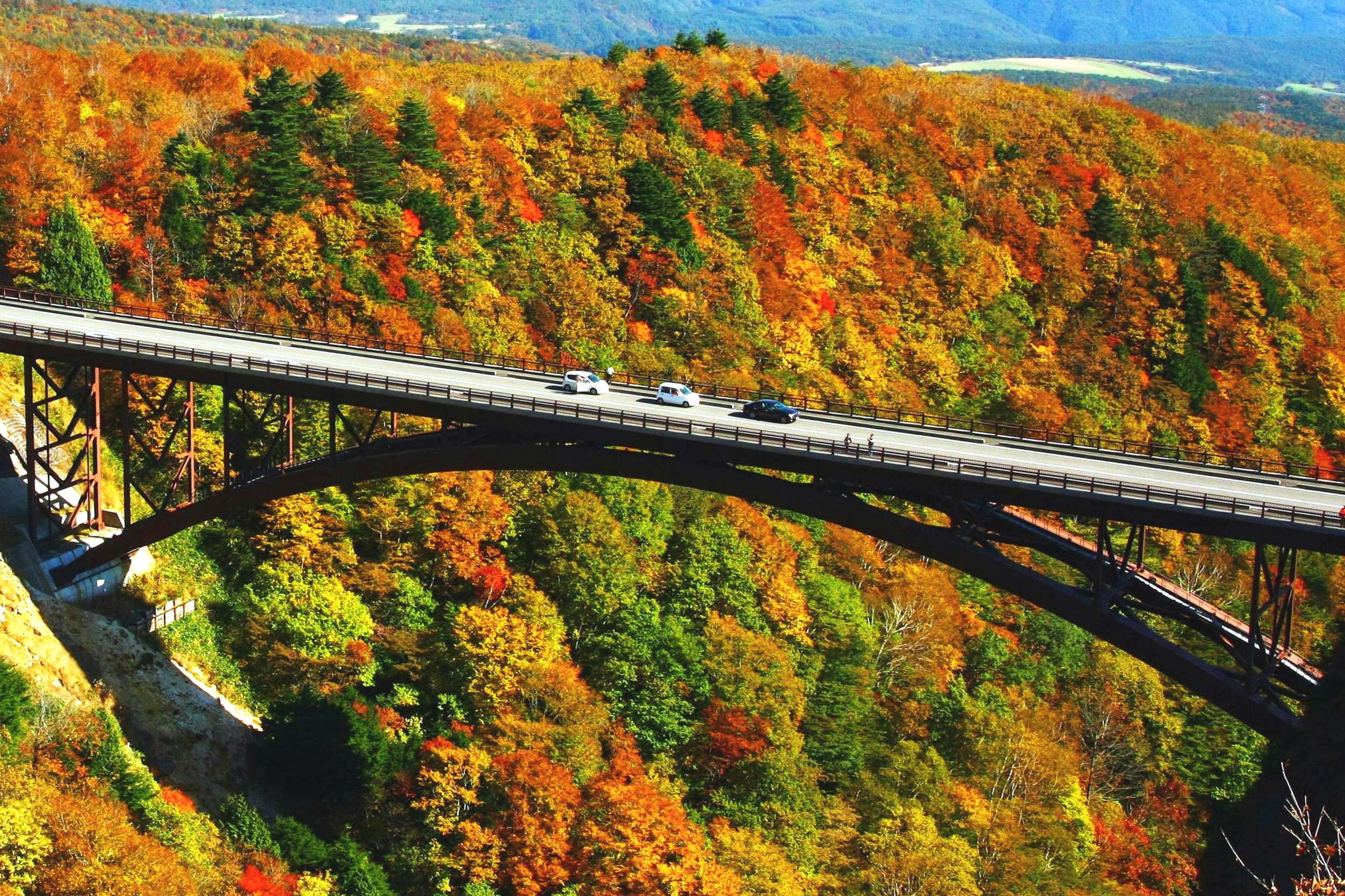
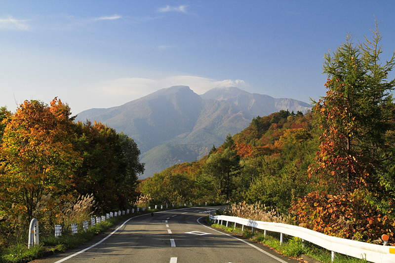
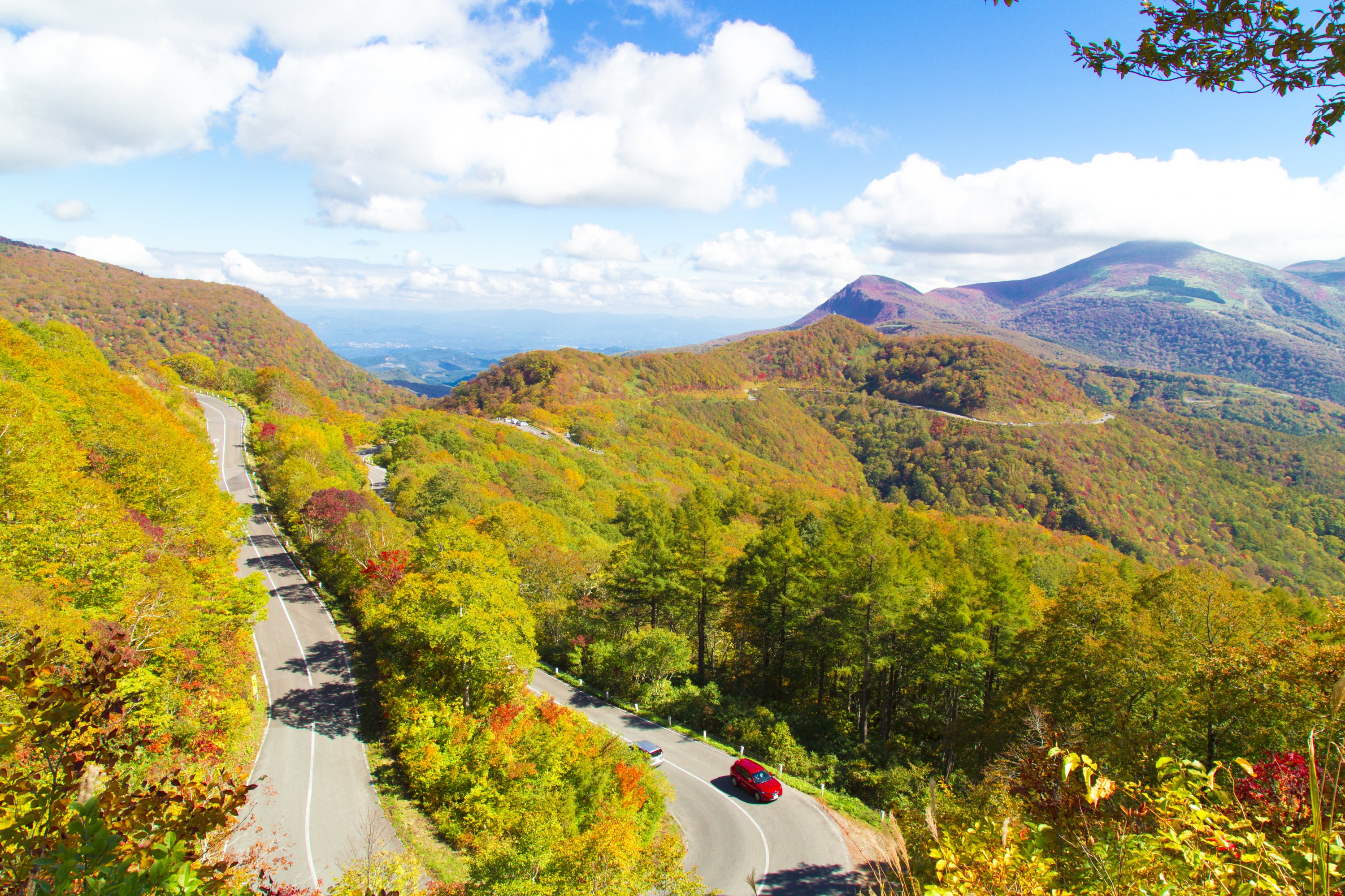
磐梯吾妻レークライン
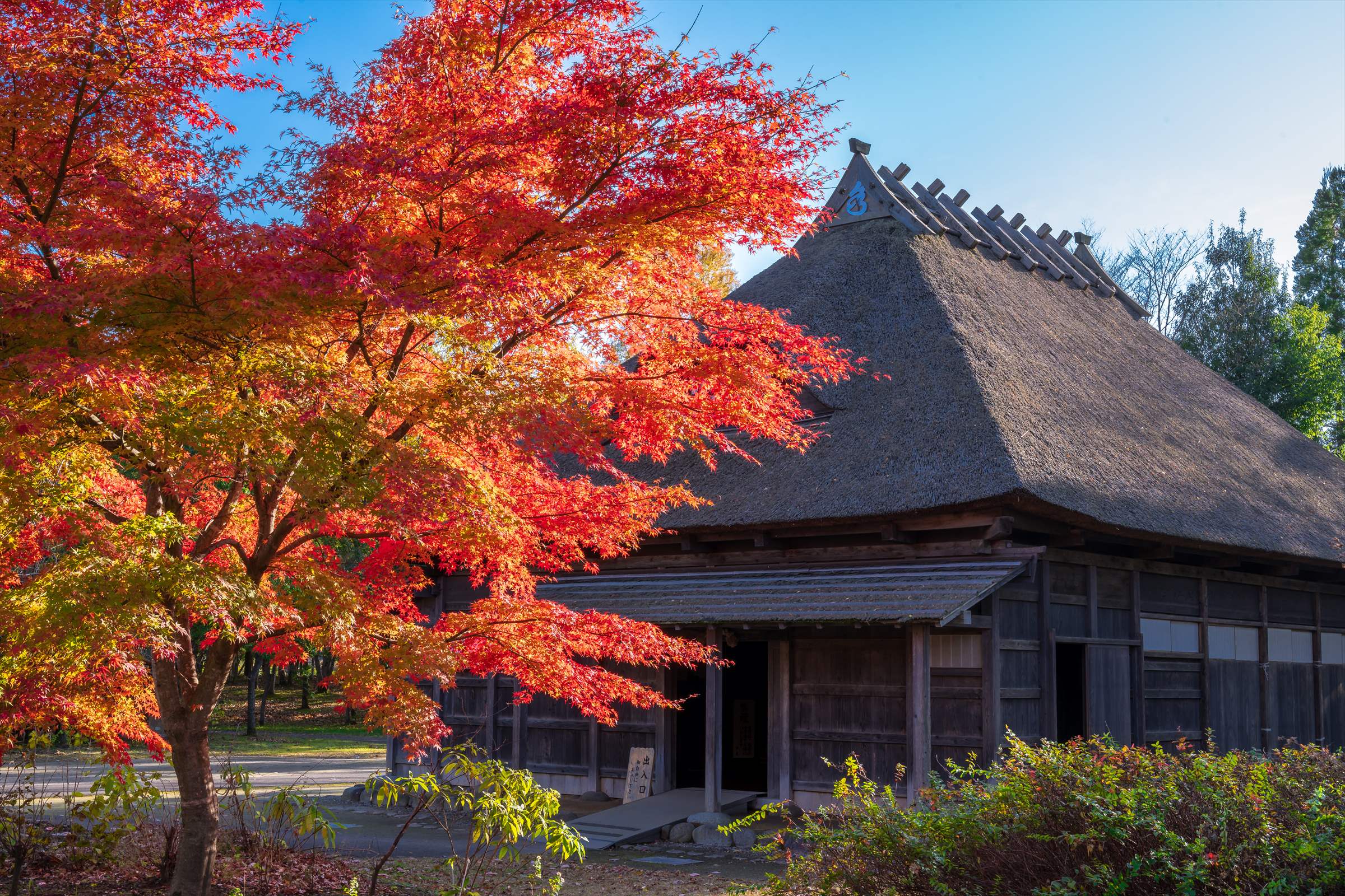
磐梯吾妻スカイラインの終点、土湯峠から裏磐梯をつなぐ観光道路で、秋元湖、小野川湖、桧原湖の裏磐梯の三つの湖を眺めることもできる人気のドライブルートです。
中間点でレストハウスがある中津川渓谷も人気の紅葉の名所であり、休憩を取りながら紅葉を楽しめます。
通行可能期間:4月上旬~11月中旬 ※冬季通行止め
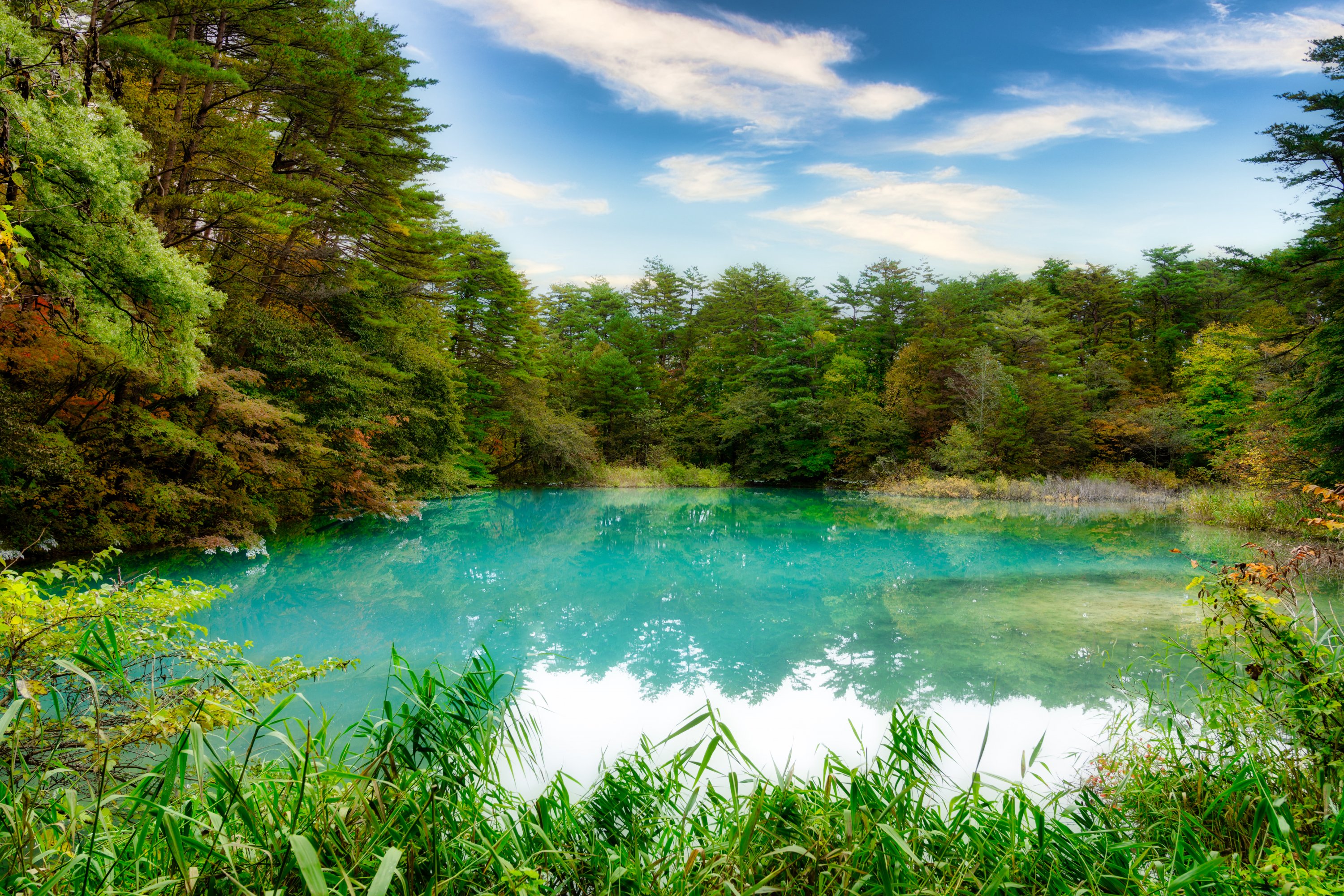
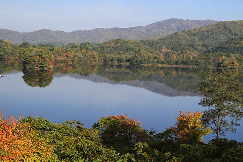
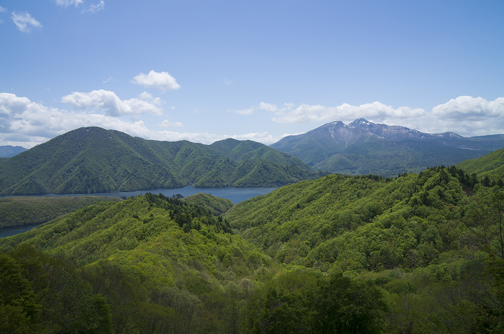
裏磐梯
裏磐梯は会津若松の北東、磐梯山の北山麓に広がる美しい自然に囲まれたエリアで、そのほとんどが磐梯朝日国立公園に含まれています。磐梯山は、1888年に水蒸気爆発によって山体崩壊を起こし、岩なだれが川をせき止め、数百もの湖沼がこの時に形成されました。桧原湖、秋元湖、小野川湖をはじめ、それらに挟まれるように位置する数十の湖沼群が五色沼です。
五色沼は2016...

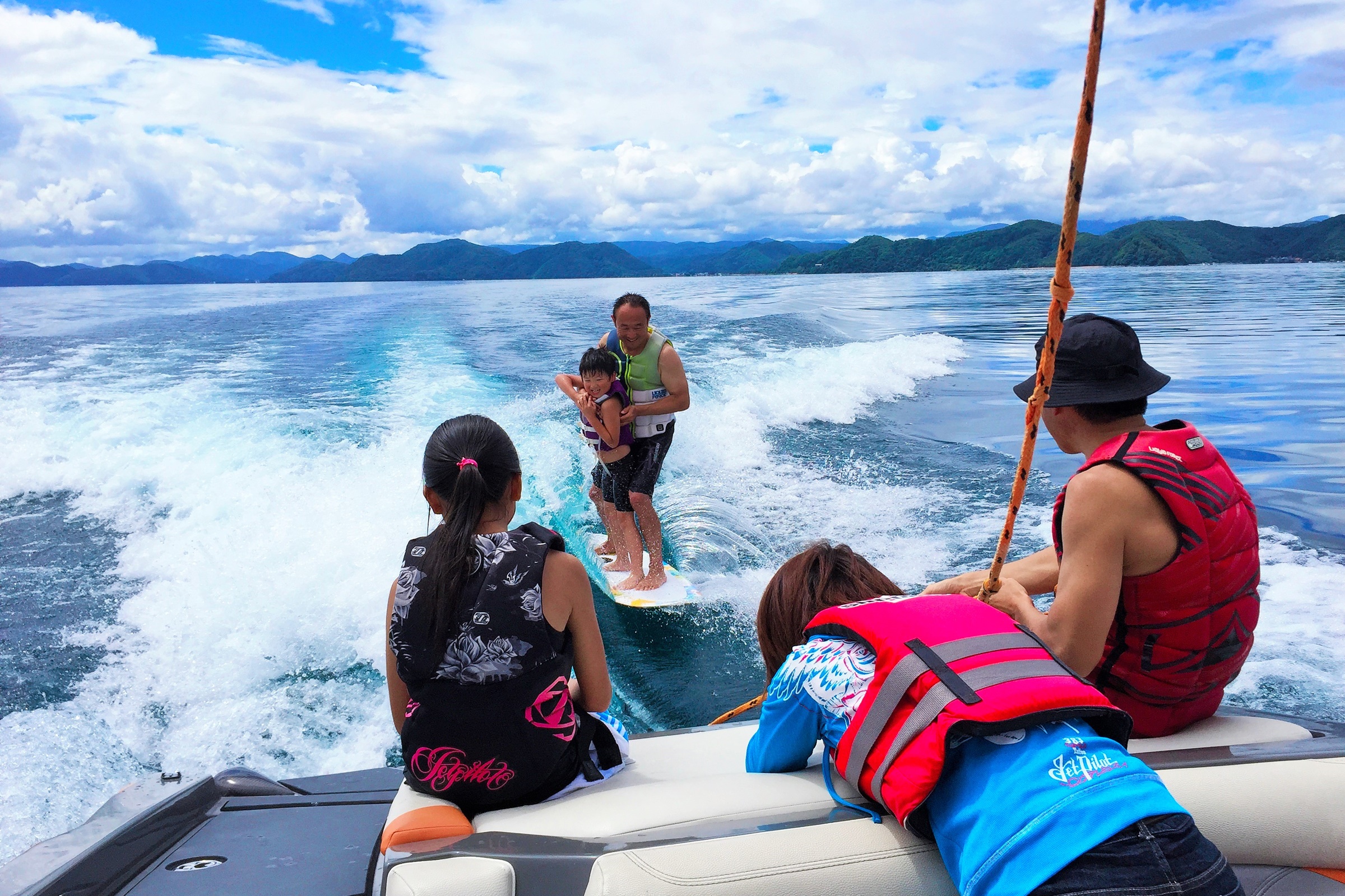
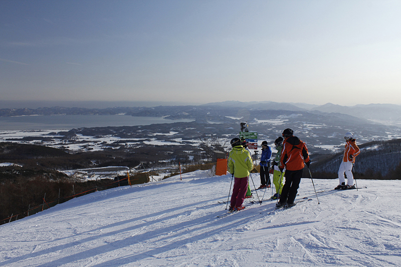
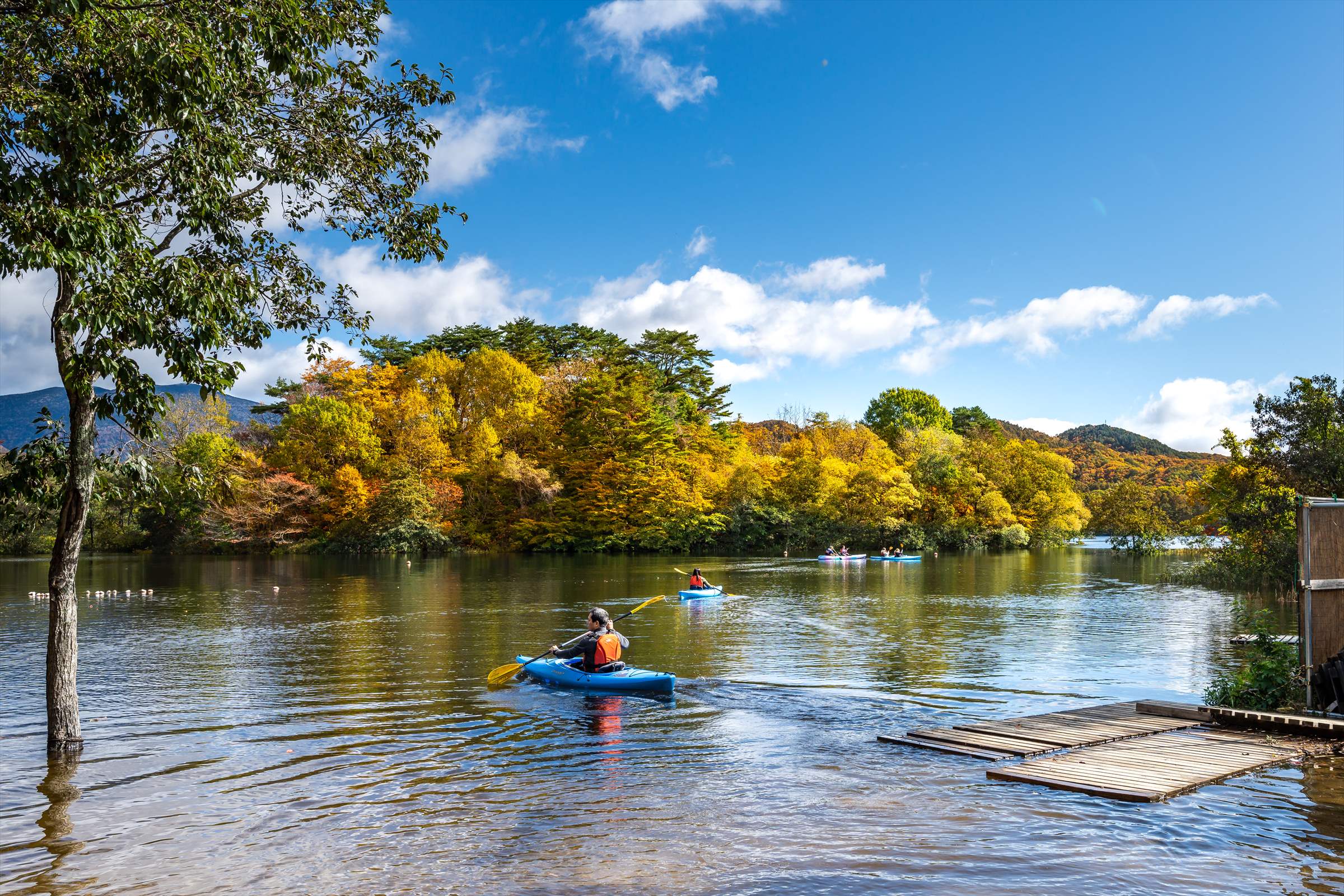
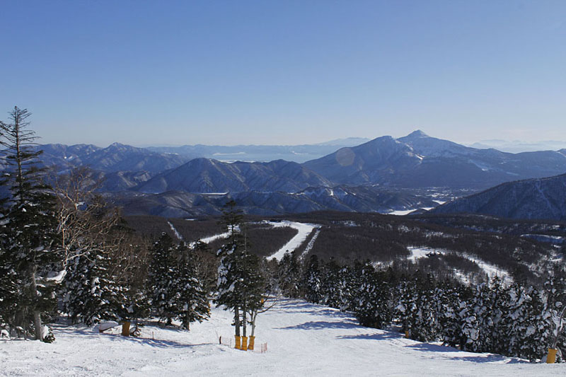
猪苗代
北には日本百名山の一つ磐梯山、南には日本で4番目の広さと透明度の高さで知られる猪苗代湖があり、登山、スキー、スノーボード、湖水浴、水上スポーツ、フィッシング、温泉などが楽しめます。
その他のおすすめコース

宇都宮から日光、会津までかつての街道を辿り歴史や文化を体験できるルートです。

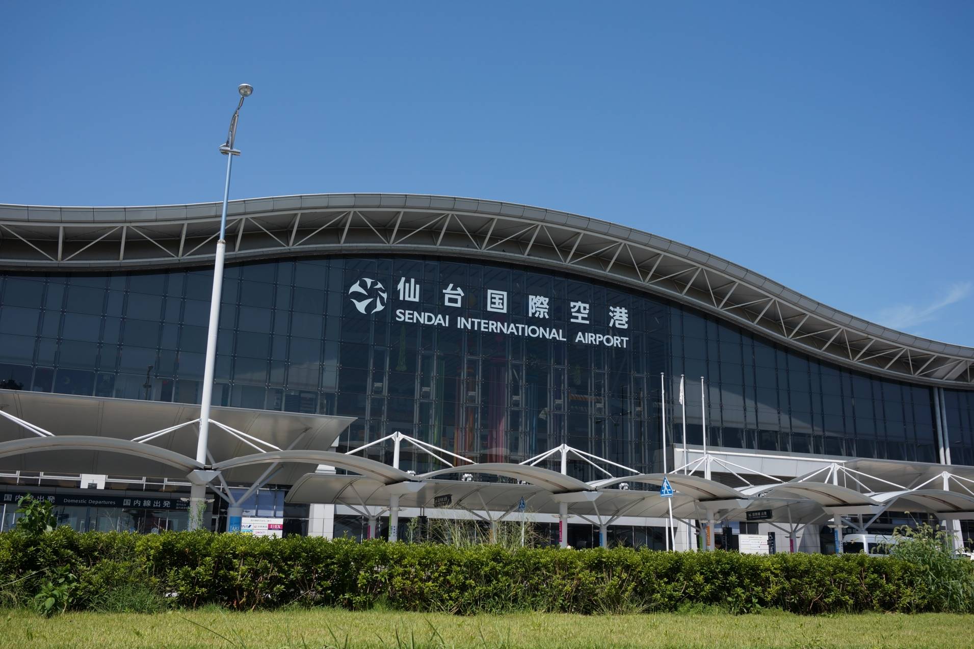
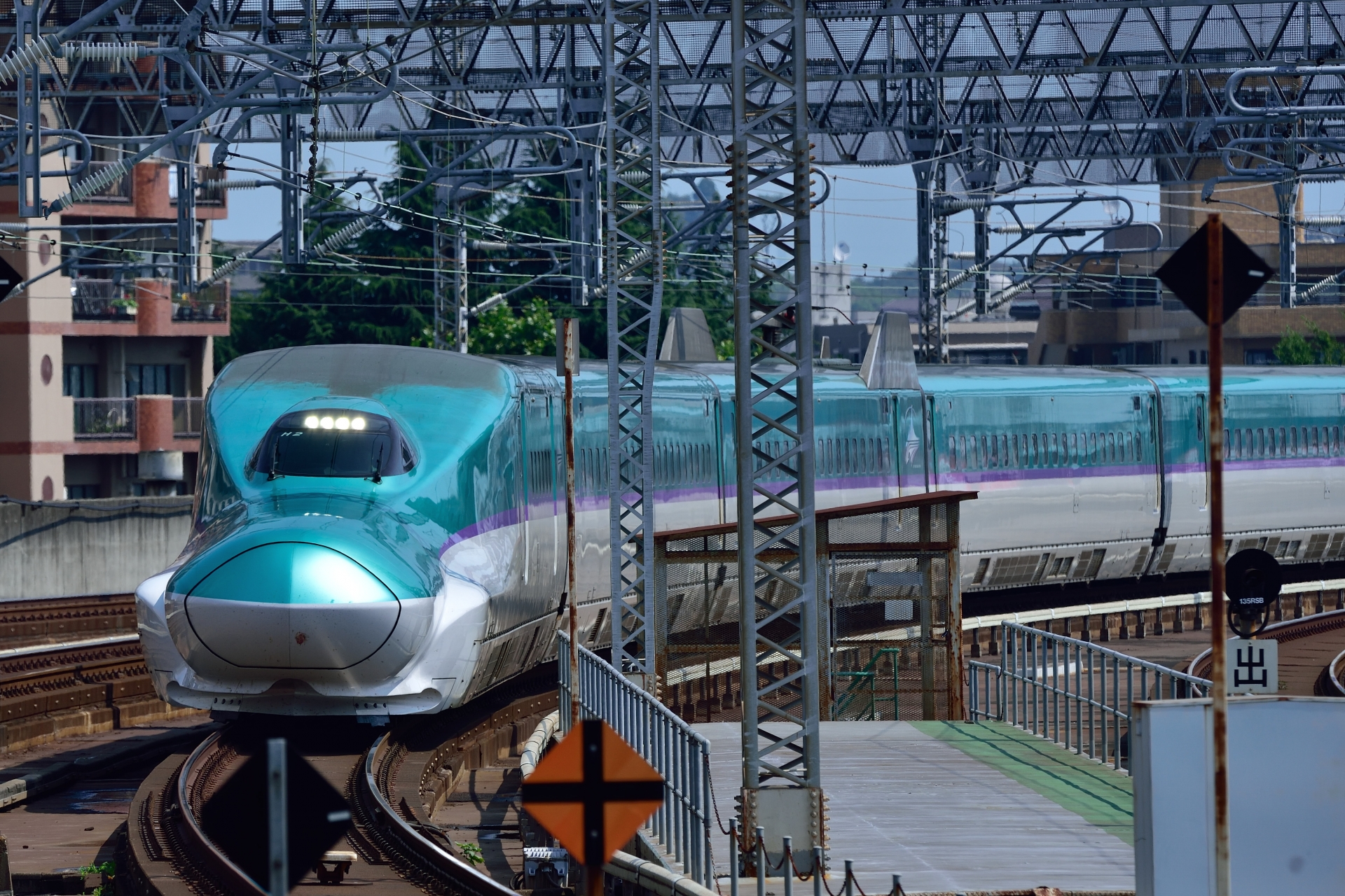
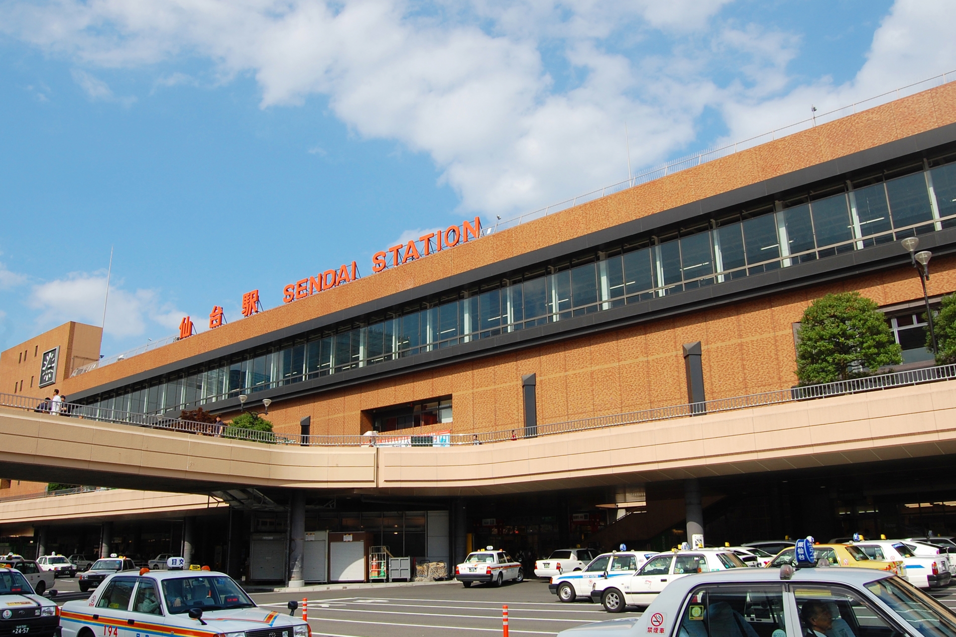
仙台空港・仙台駅から山岳道路のパノラマと四季折々の自然の景色を楽しめるルートです。

日本海側の新潟空港・新潟駅から峡谷沿いの美しい景色を楽しむことが出来るルートです。